Date of discovery: March 20, 2022
Location of discovery: Island of Sabara, Netherlands
Google coordinates: 11° 6'14.40"S 153° 4'52.84"E
Location of discovery: Island of Sabara, Netherlands
Google coordinates: 11° 6'14.40"S 153° 4'52.84"E
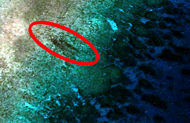
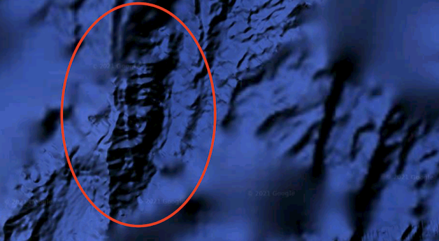
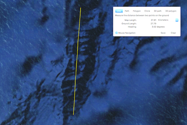
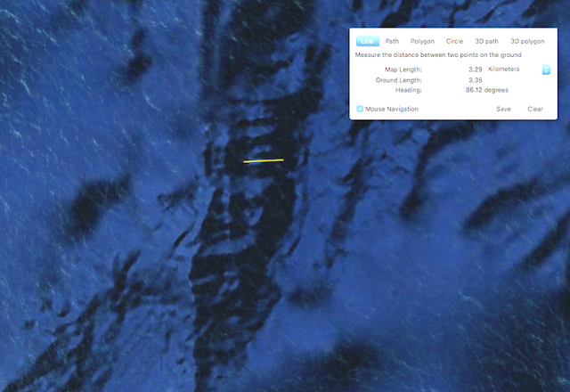
I was searching on Google Earth map when I found an old ship wreck of the edge of Sabara Island. Google ruler measures the ship to be 40 meters long and 7.5 meters wide. I can clearly see a tall mast at its back quarter area. The hull of the ship is dark in the depth of the ocean, and its difficult to decide if its metal or wooden. This doesn't resemble any fishing vessel I have ever seen. I think for this wreck to go overlooked for so long, it must be a few hundred years old. I thought this one is undocumented and may be of archeological value to a museum who wishes to explore and recover any museum worthy material it may have. I believe it to be an undocumented ship wreck. I could find nothing of it when doing a Google search.
Scott C. Waring - Taiwan


